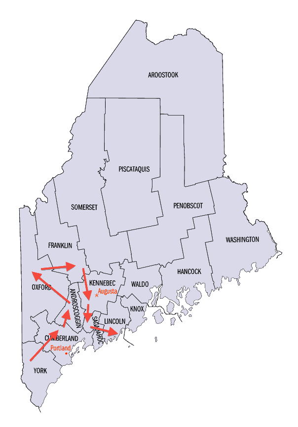
Sagadahoc County (pop. 35,293) is Maine’s smallest county in square miles. The name comes from an Indian word meaning “mouth of big river” – the river being the Kennebec.

The stress is on the first syllable.
Merrymeeting Bay, in the middle of the county, is an unusual freshwater tidal bay. Six rivers flow into it, draining almost 40 percent of Maine.
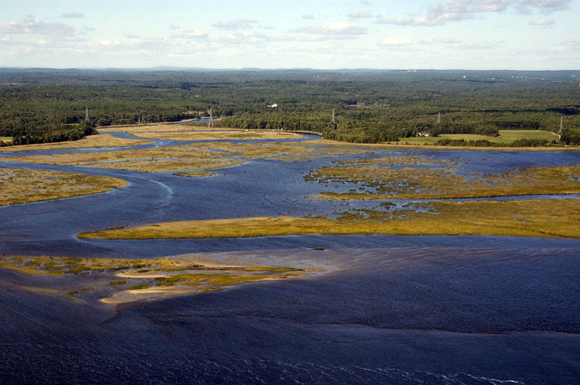
It’s about 17 miles from the Atlantic Ocean.
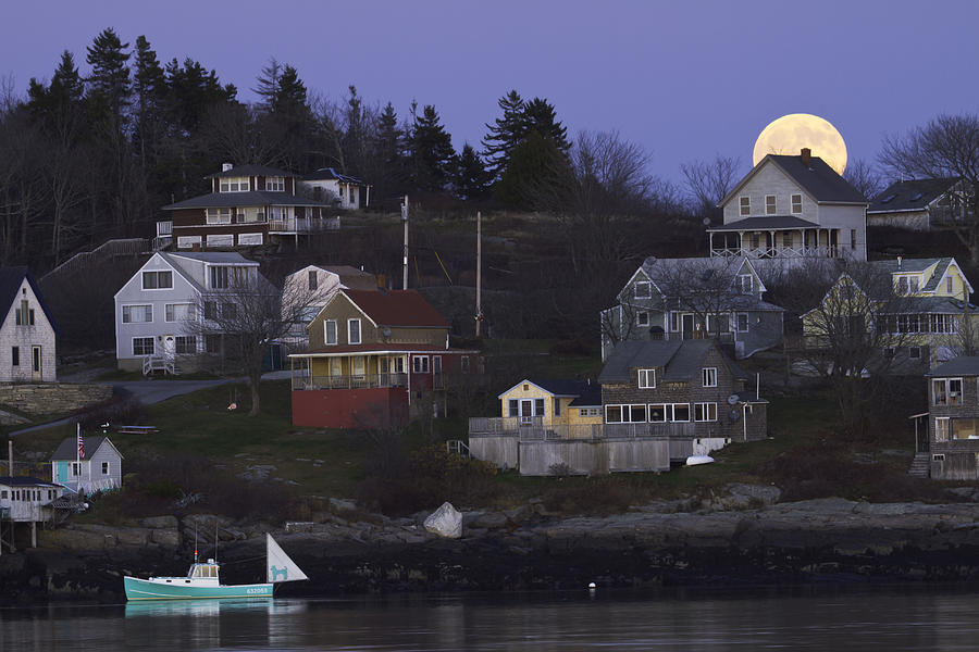
Georgetown Island (pop. 1,042) is reached by bridge from the mainland.
A popular area for tourists
The county seat of Sagadahoc County is Bath (pop. 8,514), whose nickname is “City of Ships.”
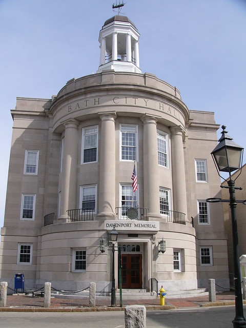
Bath City Hall (1929)
Bath was named for Bath, England, from which many of the early settlers immigrated.

Royal Crescent, Bath
Bath, Maine, is known for its 19th-century architecture, including the Winter Street Church (1843).

Now the Winter Street Center
Topsham (pop. 8,784) is the largest town in Sagadahoc County. It was named for a town near Exeter in the county of Devon, England.
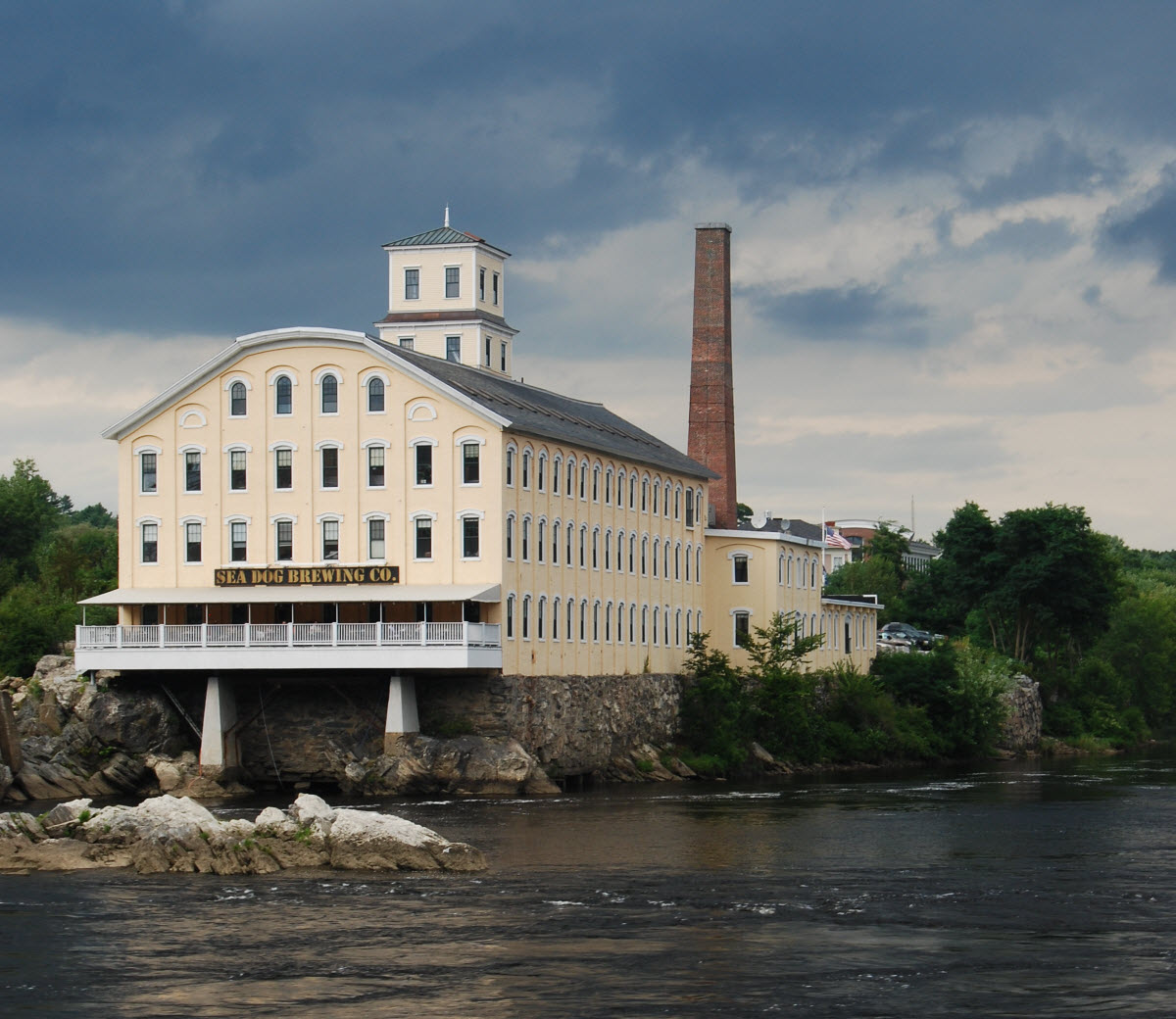
Pejepscot Paper Co. Mill in Topsham (1868)
The town of Phippsburg (pop. 2,216) is the home of two old forts built for coastal defense – Fort Popham (1861) and Fort Baldwin (1905).

Remains of Fort Baldwin
On the Kennebec River in Arrowsic (pop. 427) is the now-defunct Fiddler’s Reach Fog Signal, built in 1914.
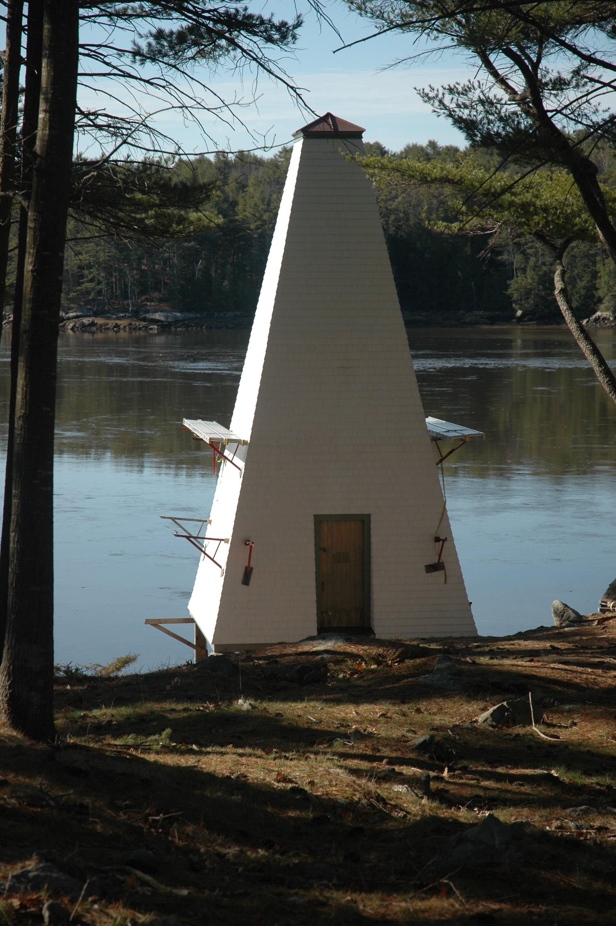
Erected after a steamboat ran aground there
NEXT: LINCOLN COUNTY